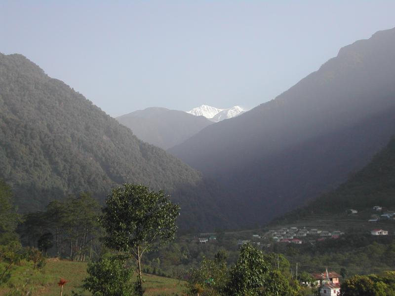
Last View of the Kabru Range From Yuksam
The walk from Gocha La back to civilization -- Yuksam has hotels with hot
water, there are telephones that work (sometimes at least), and there is
a paved road leading out -- took the better part of three days. Not
having seen Kanchenjunga close up from Gocha La it was even more galling
to wake up the next morning to perfectly clear sky. Not that this is
Kanchenjunga. This is another picture of Kabru South, Kabru North
and Kabru Dome -- Kanchenjunga is either blocked by the Kabrus or it is off
to the right, behind the close mountain (I'm not sure of the angle of
view, so I'm not sure which).
Overall, I enjoyed my trek, but if I were to do it again I would do it
in the fall, when, though it is colder, the sky is brighter and
clearer.
Photo taken: May 8, 2003 at 7:00AM
Click
 Previous Image |
 Return to Thumbnails |